Hydrogeologic Cross Section of Tusayan

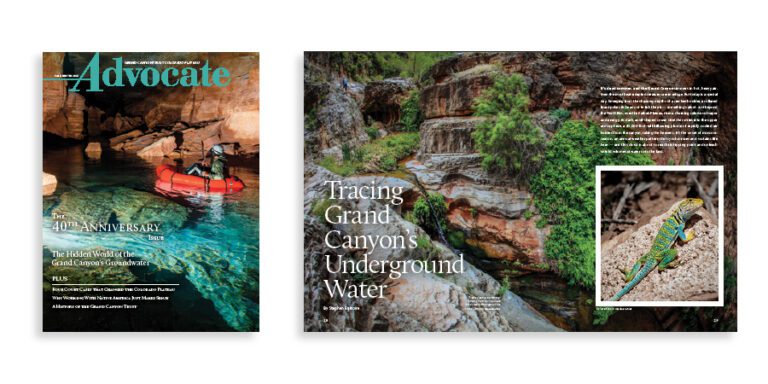
A developer is proposing to build a massive mega-resort and housing near Tusayan, on the doorstep of Grand Canyon National Park. But where will the water come from?

What does the hydrogeology of Tusayan look like?

Download your copy

This graphic may be used for non-commercial purposes provided it is not altered or edited and is appropriately credited Joan Carstensen, Grand Canyon Trust. A hyperlink to the Grand Canyon Trust website is appreciated.

For higher quality images or custom sizing please contact our communications director, Ashley Davidson, at adavidson@grandcanyontrust.org

Related Resources

Dragon Bravo Fire Map showing the locations and burn perimeters of the White Sage and Dragon Bravo wildfires in 2025 near Grand Canyon National Park and Kaibab National Forest, with affected areas shaded in orange.
See a map of the areas the Dragon Bravo and White Sage fires burned on the north rim of the Grand Canyon in the summer of 2025, destroying the lodge and numerous other park buildings.
Advocate Magazine cover with image of red packraft on clear blue water in a cave in the Grand Canyon
The fall 2025 edition of the Grand Canyon Trust’s Colorado Plateau Advocate magazine, including a deep dive into the Grand Canyon’s ancient groundwater.
Graphs display Lake Powell and Lake Mead Levels from 2000 to 2023, showing current elevations and distances to power and dead pool thresholds in feet.
How much water is in Lake Powell and Lake Mead? See a live feed of distance above power pool and dead pool at both reservoirs.